
Utilities · iOS
Clime: NOAA Weather Radar Live
by Mosaic S.r.l.
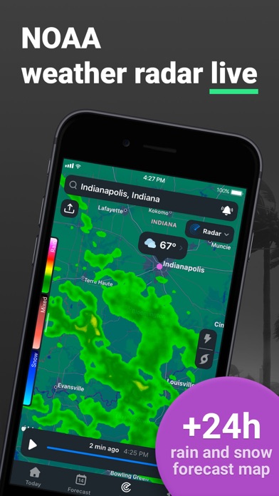
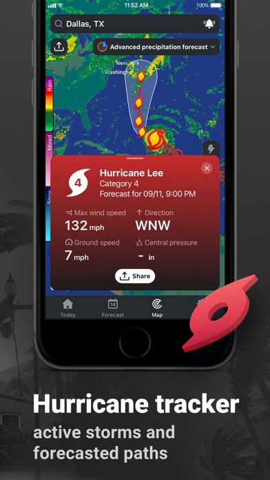
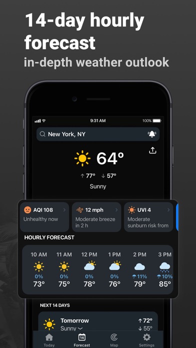
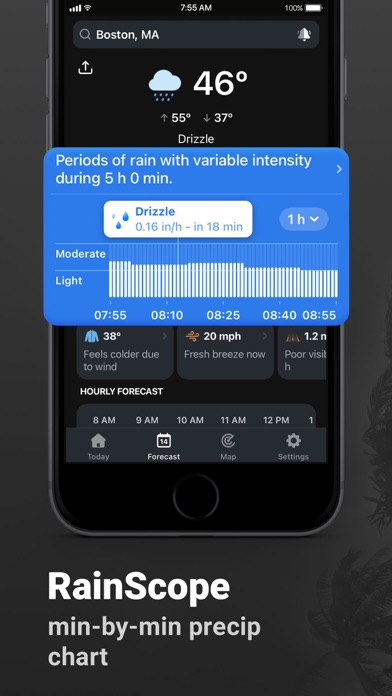
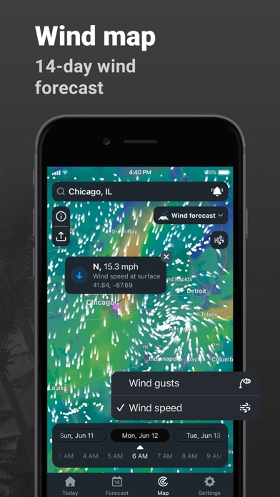
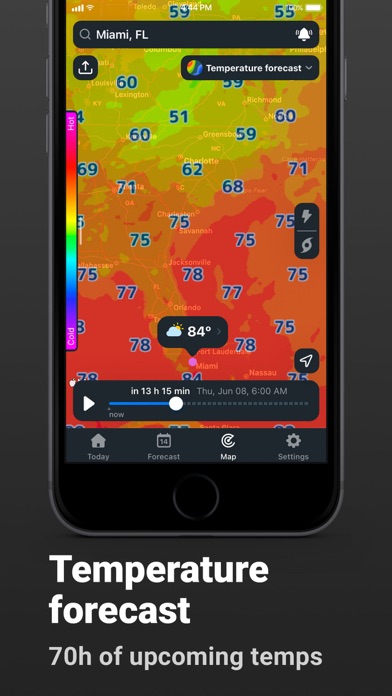
Clime wraps live NOAA radar data inside an interactive, zoomable map alongside satellite cloud imagery, NWS alert polygons, and a 24-hour precipitation forecast layer. Over a million ratings averaging 4.47 stars confirm it has found a devoted audience. The 297 MB footprint is a real commitment, but the breadth of map layers and alert tools justifies that weight for anyone who treats weather as more than background noise.
Radar-first design with real geographic context
The core proposition is radar-first situational awareness rather than a polished forecast summary. Clime pulls live NOAA precipitation data and overlays it on standard, hybrid, or satellite base maps, so moving rain and snow cells always have immediate geographic context. A satellite cloud layer adds a second dimension, and a 24-hour precipitation forecast layer lets you see what is approaching your pinned locations rather than just what is happening now. NWS watches and warnings appear as color-coded interactive polygons, a meaningful upgrade over a plain text banner, and tapping any polygon surfaces the full alert text. For the audience it targets, the feature set is genuinely well matched to the need.
Heavy app, but actively maintained and reliable
At 297 MB, Clime is one of the heavier utility installs on iOS, which hints at the rendering work involved in animating live radar tiles over interactive maps. The app has been updated as recently as June 2026 and carries version 5.13.68, suggesting a mature, actively tuned codebase rather than a stagnant one. A million-plus ratings with a 4.47 average is a strong signal of sustained real-world reliability across varied network conditions. That said, the app is fundamentally dependent on a live data connection; radar tiles and alert polygons will not load without one, so usefulness drops sharply in areas with poor coverage. Twelve years of feature additions can also introduce interface complexity that slows down quick checks.
Free tier offers genuine value for serious users
Clime is free to download, and the free tier does provide genuine utility including live radar and alert access. In-app purchases exist, however, and prospective users should verify which layers or features are gated before committing to the download. For casual users who only glance at weather once a day, a lighter free app may be more practical. For storm spotters, outdoor professionals, or anyone who needs polygon-level alert precision, the value proposition on even the free tier is strong, and a paid upgrade becomes easier to justify given the breadth of data on offer.
Requires location access and standard permissions
Clime will request location access to center the radar map and deliver push notifications for bookmarked spots, both of which are expected for this category. Beyond those baseline permissions, the specifics of data collection, third-party sharing, and tracking are detailed in the App Store privacy nutrition label, which is the authoritative source to consult before installing. As with any ad-supported utility, it is worth reviewing what behavioral or location data may be shared with advertising partners. We recommend checking that label directly rather than relying on any summary, since privacy practices can change between app versions.
Logical interface with accumulated complexity
The map-centric interface is logically organized, with layer controls and location bookmarks reachable without deep navigation. Color-coded alert polygons follow NWS conventions that experienced weather watchers will recognize immediately. Version 5.13.68 across a 12-year lifespan does mean the app has accumulated layers of functionality, and new users may need a few sessions to discover everything available. The content rating of 4-plus indicates no age-restricted material. For accessibility, iOS system features such as Dynamic Type and VoiceOver compatibility are worth testing on device, as radar map interactions can be challenging for users who rely on screen readers in map-heavy applications.
Actively updated since 2013 original release
A June 2026 update to version 5.13.68 confirms that Mosaic S.r.l. is actively maintaining the app, not coasting on an established rating. The original release dates to November 2013, giving the team over a decade of iteration on radar rendering, alert delivery, and map performance. That longevity is a reliability signal in a category where smaller weather apps frequently go dormant. The high rating sustained across more than a million reviews suggests the developer has kept pace with iOS platform changes and user expectations, which matters for an app whose core value depends on timely, accurate data delivery.
Pros
- Live NOAA radar overlaid on a zoomable map with standard, hybrid, and satellite base options
- NWS alert polygons are tappable and surface full alert text, enabling precise neighborhood-level risk assessment
- 24-hour precipitation forecast layer extends usefulness well beyond current conditions
- Actively maintained with a June 2026 update and a decade-long track record of reliability
Cons
- 297 MB install is unusually large for a weather utility and requires a persistent data connection to function
- In-app purchases may gate premium layers, and the free tier scope is worth verifying before downloading
- NOAA data coverage is US-centric, making the app significantly less useful for international users
Related guides
Similar Utilities apps


apptidal is independent and ad-supported. We earn no commission on installs and no company can pay for a better score. How we stay independent.