
Utilities · iOS
NOAA Radar & Weather Forecast
by Position Mobile Ltd SEZC
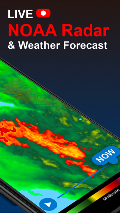
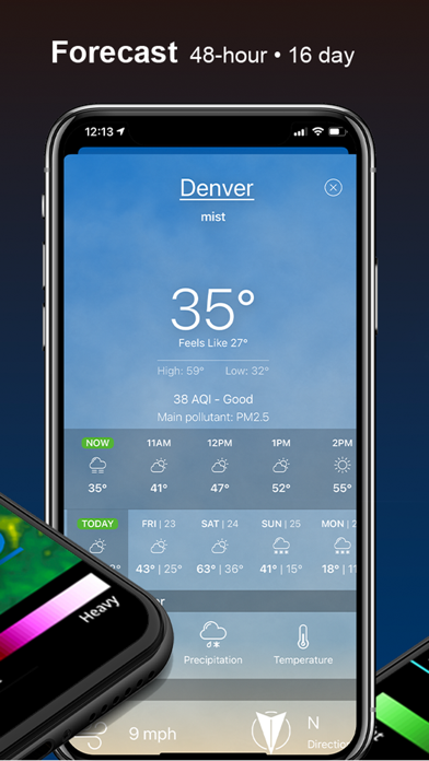
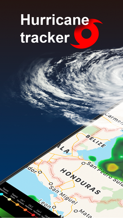
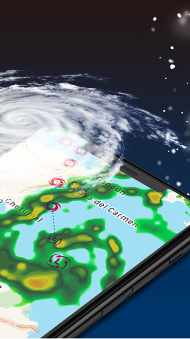
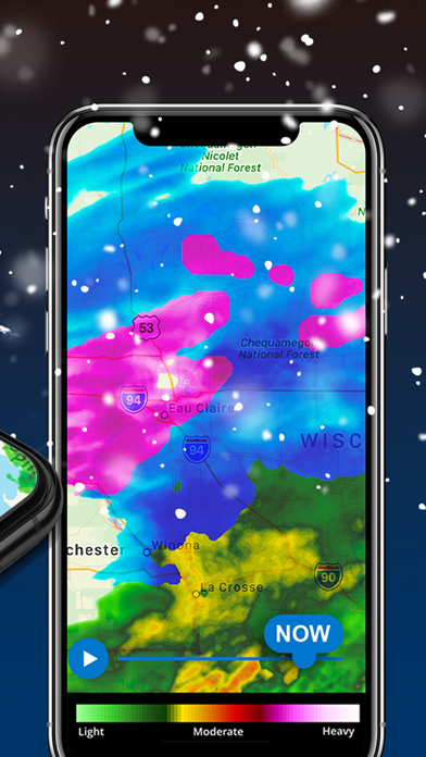
Position Mobile's NOAA Radar & Weather Forecast packs more than 35 map layers into a 222 MB download, spanning hurricane tracks, lightning strikes, drought conditions, air quality, and wave heights. The animated radar map is the clear centerpiece, cycling through up to 12 hours of forecast data. With a 4.39 rating across 76,000 reviews, user sentiment is broadly positive, though the free-tier boundaries and unofficial NOAA branding deserve scrutiny.
Comprehensive layer depth outweighs standard forecasting
The genuine headline feature is layer breadth. Fire observations, storm cells, atmospheric pressure, wave heights, drought monitoring, and air quality all sit alongside standard radar on a single interactive map, a combination that most weather utilities simply do not offer. The radar animation pulls real-time data and plays back up to 12 hours of forecast layers, which is functional if not class-leading. A 14-day temperature and precipitation forecast adds everyday utility, and severe-weather alert notifications are built in. For situational awareness beyond rain and temperature, the depth here is legitimately useful rather than a marketing checklist.
Heavy install and missing offline mode
A 222 MB install is notably heavy for a weather utility, sitting well above category norms, which suggests rich asset bundles rather than a lean data-driven architecture. That footprint can slow initial load on older devices. On the positive side, the app has been updated consistently, with version 73.11 landing in December 2024, signaling active development and regular data-source maintenance. The high rating volume across 76,000 reviews suggests the experience is stable for most users. No offline mode appears to be available, which is a practical gap for anyone in areas with unreliable connectivity when weather conditions matter most.
Free core with unclear paywall boundaries
The app is free to download, and the core radar map is accessible without payment. However, the App Store listing does not clearly define which of the 35-plus layers require an in-app purchase upgrade, and that ambiguity is a genuine friction point. Users who install expecting the full layer set may find content gated sooner than expected. For casual users who only need basic forecasts, the heavy install size and potential paywalls probably tip the value equation toward simpler free alternatives. Power users tracking wildfire, marine, or severe storm conditions may find a subscription justifiable, but they should verify current pricing inside the app before committing.
Third-party developer requires privacy label review
Position Mobile is a third-party developer, not a government agency, despite the NOAA name in the title. That distinction matters for privacy expectations. Location access is effectively required for accurate local radar, which is standard across the category. For a precise picture of what data is collected, shared, or used for tracking, the App Store privacy nutrition label for this specific app is the authoritative source. We recommend reviewing it before installing, paying particular attention to data-linked-to-you and tracking disclosures, especially given the ad-supported free tier.
Dense interface challenges accessibility for new users
The map-centric interface is visually dense by design, which suits power users but can feel overwhelming for newcomers navigating 35-plus layer toggles. Layer organization and iconography are critical to usability at this scale, and reviews suggest the layout is generally learnable. Standard iOS Dynamic Type and display-size settings should scale interface text, though a data-rich radar map inherently challenges low-vision accessibility. VoiceOver compatibility with interactive map elements is not confirmed, so users who rely on screen readers should test the core workflows before depending on the app for safety-critical weather monitoring.
Active development since June 2020 launch
Version 73.11, released in December 2024, reflects a high update cadence and suggests Position Mobile is actively iterating on the product. The version number alone implies dozens of releases since the June 2020 launch, which is a positive signal for bug resolution and data-source currency. The 76,000-review base also means developer responses to user feedback are more likely to influence future updates. The main maintenance concern is not frequency but transparency, specifically whether paywall boundaries and data-source attributions are kept current as NOAA's own data feeds evolve.
Pros
- Over 35 map layers covering niche data including wave heights, drought monitoring, fire observations, and air quality
- Real-time radar with up to 12 hours of animated forecast playback provides strong situational awareness
- Consistently updated with version 73.11 in December 2024, reflecting active ongoing development
- Broad user validation at 4.39 stars across 76,000 ratings indicates reliable core functionality
Cons
- In-app purchase scope is not clearly disclosed upfront, leaving free-tier boundaries frustratingly vague
- 222 MB install size is substantially heavier than most weather utility competitors
- The NOAA name implies official government affiliation when the app is actually a third-party product from Position Mobile
Related guides
Similar Utilities apps


apptidal is independent and ad-supported. We earn no commission on installs and no company can pay for a better score. How we stay independent.